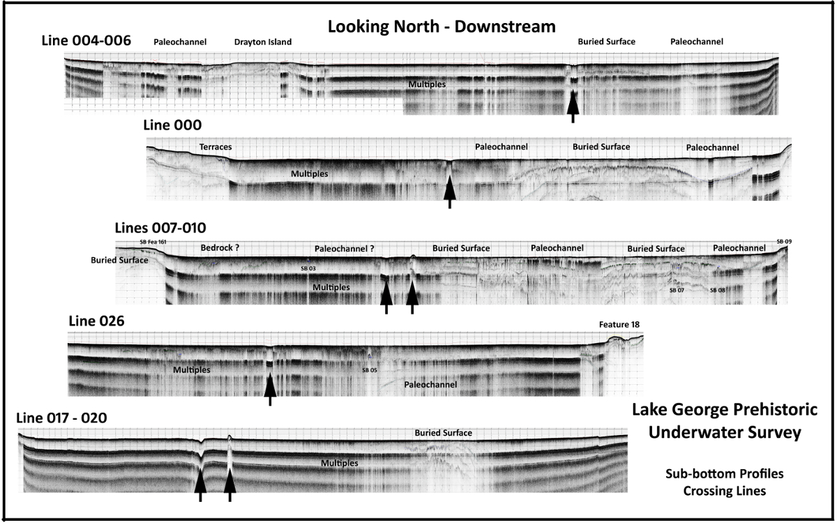
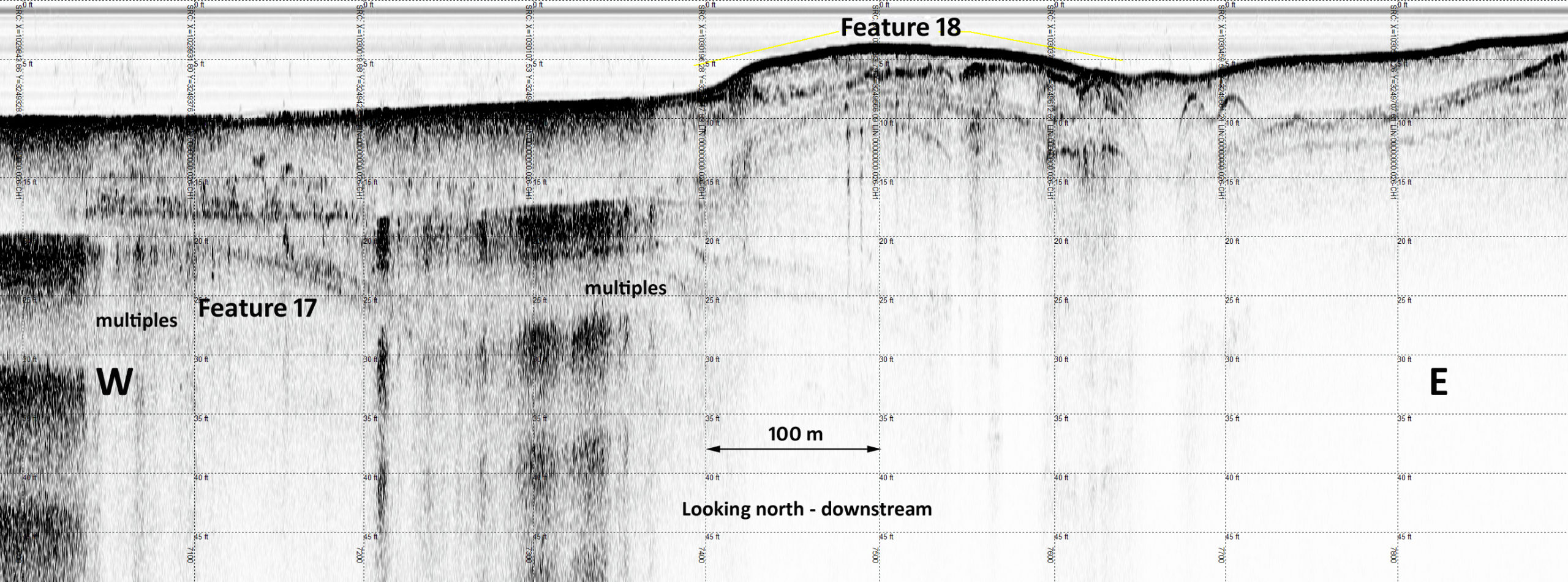

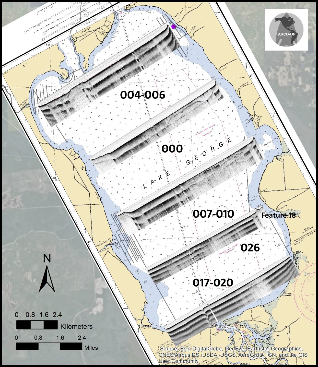
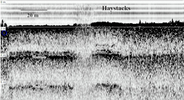

Sub-bottom Profiles Across Lake George
Looking North, arrows point to modern, dredged, navigation channel, and associated spoil piles if visible.
Lake George is the largest lake in the St. Johns River drainage systems. Bathymetric maps (low quality soundings for fishermen) indicate the lake is 3-4 m (10-12 ft) deep with low slope bottom topography. The paleo-river channel, when water levels were lower is not apparent and is likely buried in the Holocene sediment cover.
Peat deposits in the northern part of the lake may preserve organic artifacts, and shell middens, small mounds, rock outcrops, and other sites that are likely preserved beneath the bottom. The tannic lake is tidally influenced and the flow sluggish, reducing visibility and making a traditional visual underwater survey with divers impractical.
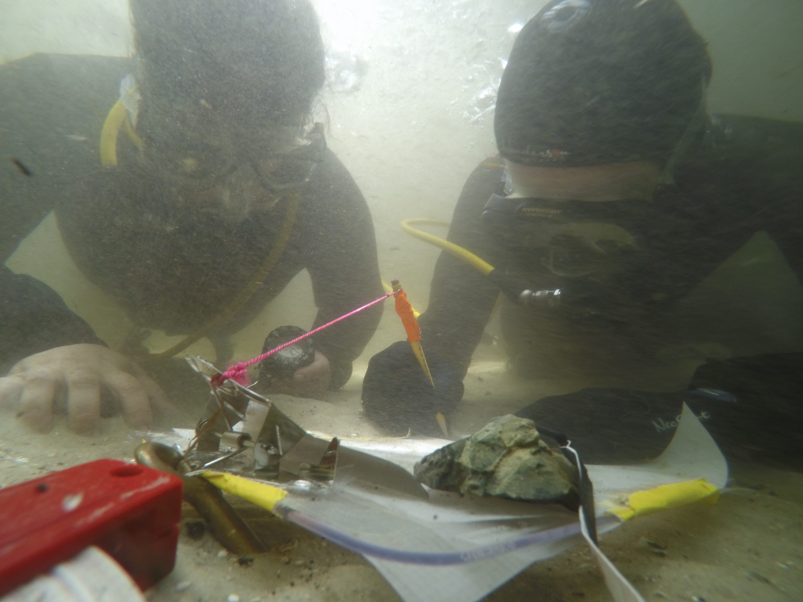
We surveyed portions of Lake George to (1) better define the paleo-channel of the River and identify tributary channels, (2) map selected areas of the bottom to better define the submerged paleo-landscapes surrounding the Paleoindian-age Georgetown Point Site (8PU1470), a large shell mound at the mouth of Silver Glen Run (8LA1-East), and the mouth of Salt Spring Run, and (3) identify potential targets for additional testing by coring or underwater excavation.
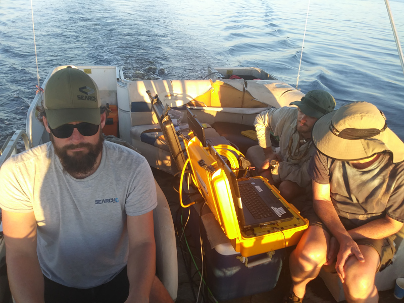
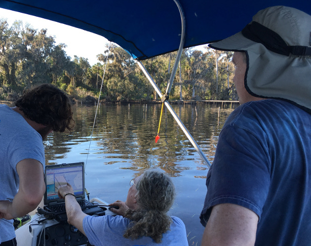
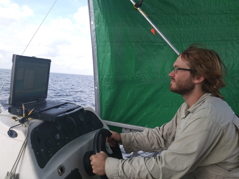
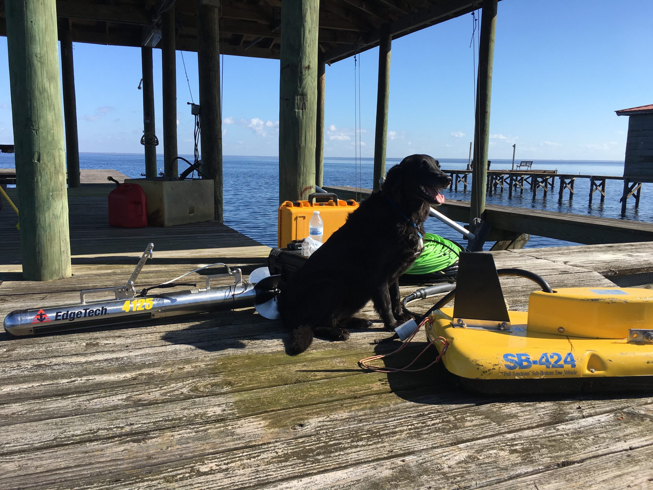
The 2017 OP surveyed the lake using side scan sonar and sub-bottom profiler devices who’s use was donated by SEARCH, Inc. Data from the remote sensing devices were post-processed and analyzed for potentially significant paleolandscape features, potential cultural features (such as weirs or other submerged structures), and specific features of the paleolandscape that may have been attractive to Paleoindians or others using the Lake bottom before it was submerged.
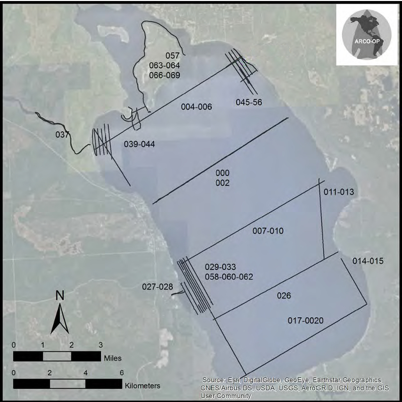
Both side-scan sonar and sub-bottom data sets were processed and analyzed by Faught, and contacts and features were mapped and tabulated, and illustrated using SonarWiz. A total of 144.86 km of track lines were conducted using both remote sensing devices.
Looking North, arrows point to modern, dredged, navigation channel, and associated spoil piles if visible.